Fall has definitely come to Texas. The air is getting cooler, rain has returned to the forecast and the leaves are changing. Wait, what? Leaves don’t change in Texas.
So I thought.
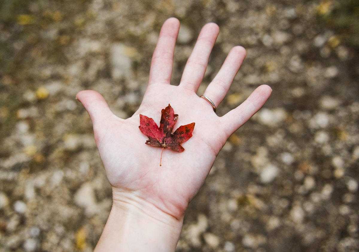
I heard about this place called Lost Maples State Natural Area, a park full of maple trees that change colors vibrantly in the fall. I had to check it out!
I looked at the park web site a while back and found a weekly foliage report, including photos, to track the color change progress. I checked it weekly until color started to appear, then I checked the weather report. Hmm…90 percent chance of rain.
I was hoping the forecast would deter fall foliage fans, especially on a Tuesday night, but I called the park ahead of time to make a reservation, just in case. No one answered, so I packed up my stuff and drove down to Lost Maples, hoping they’d have a camp site for me.
When I arrived, I walked in to the lobby and asked for a site. The ranger asked, “tonight?” I said yes. I could see her fighting back laughter. “We’re all full tonight,” she said.
I wasn’t going to just give up and turn around, so I said, “okay, I guess I’ll take a day pass,” and grabbed a trail map on my way out.
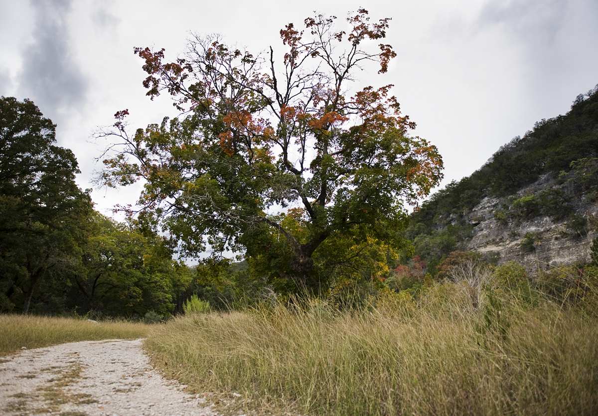
Instead of setting up my tent, I went straight to the eastern-most parking area and filled my backpack with bottled water, a snack, the trail map, a flashlight (!) and a few camera items. There are two main trails, the East Trail and the West Trail. I didn’t have time to hike both of them before dark, so I chose the East Trail for it’s scenic overlooks.
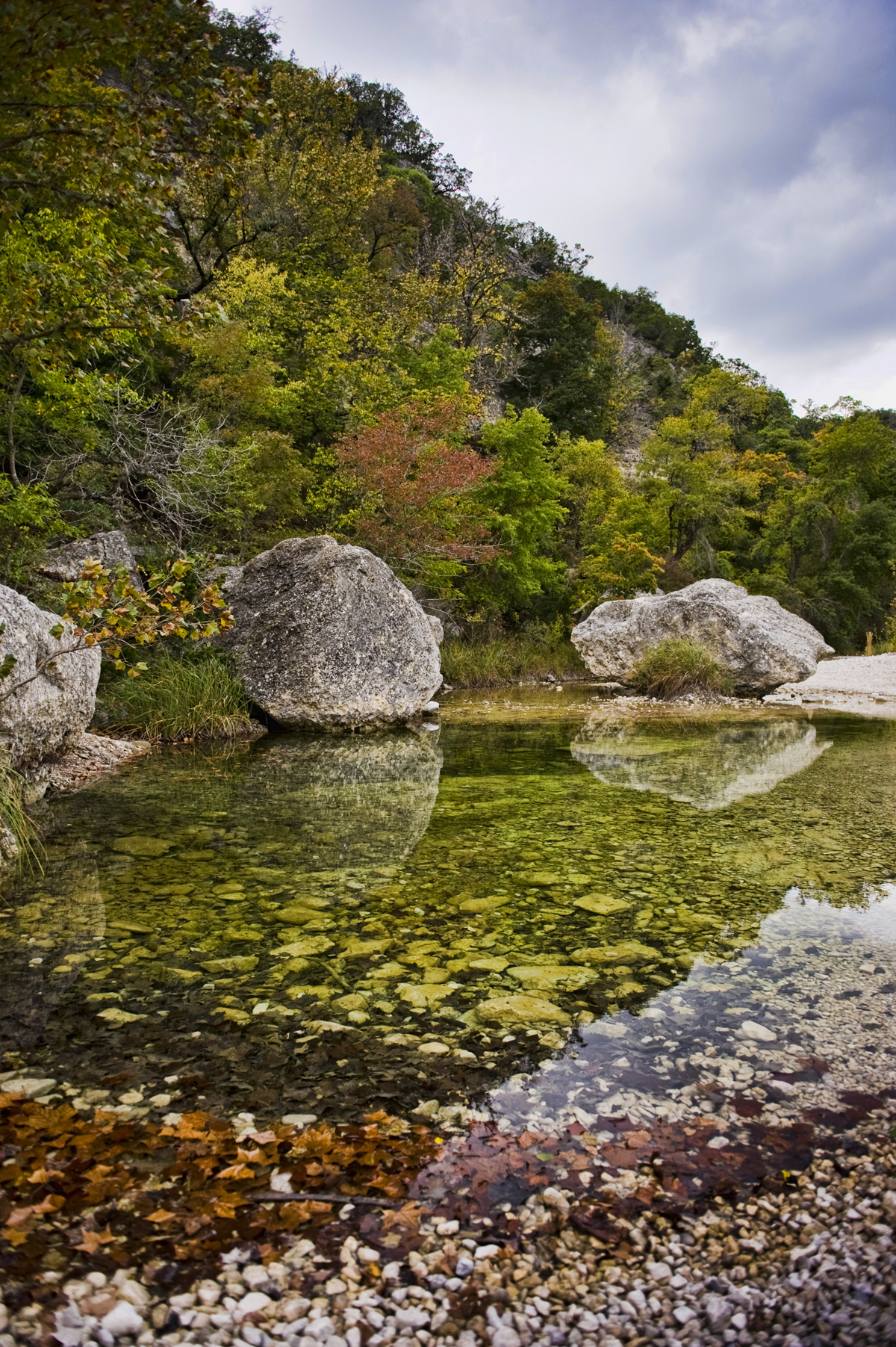
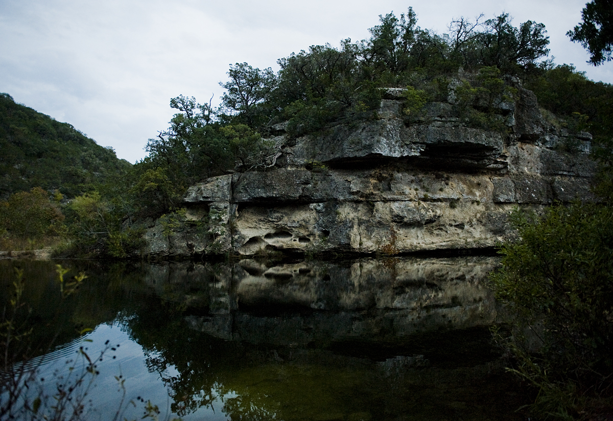
From the very beginning I was dazzled by the East Trail. Near the trail head, you have to cross the Sabinal River, which doesn’t flow most of the time, but it does leave beautiful pools of water that add to the colorful landscape.
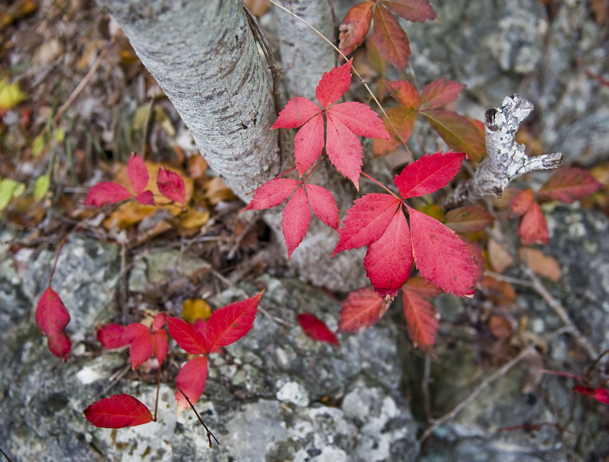
I veered left a little and took the short Maple Trail detour through trees and piles of fallen leaves.
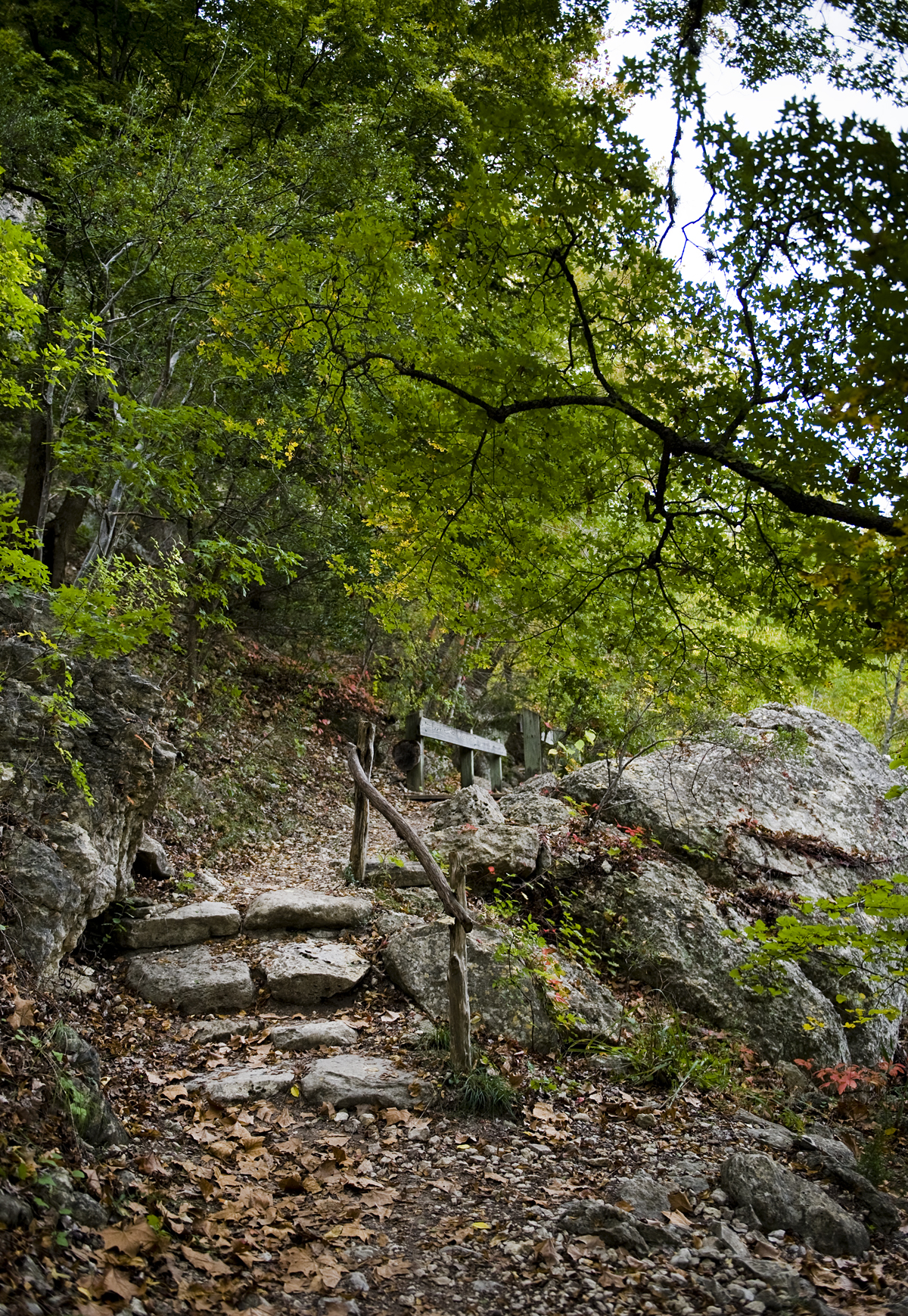
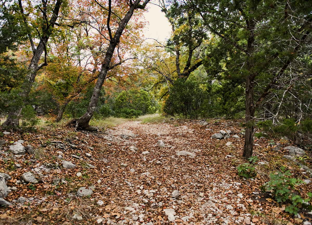
Then rejoined the East Trail, looking for little spots of color. That side of the trail is easy hiking – wide trails that follow the river.
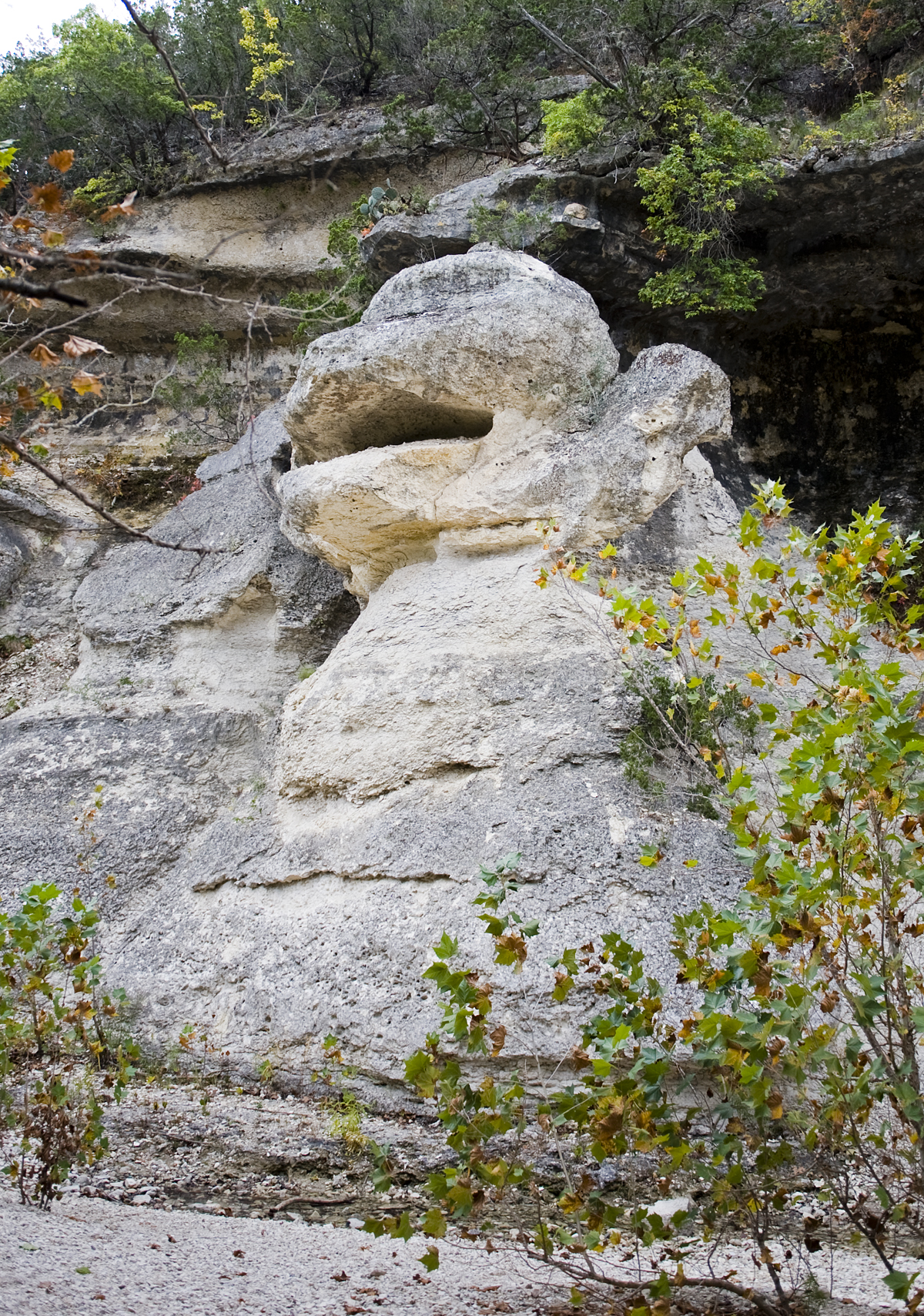
I came to another detour option with a sign that said, “Monkey Rock.” That’s not on the trail map. It’s a short detour that’s worth the effort. It made me giggle a little. You can see why. Anyone know the story behind Monkey Rock?
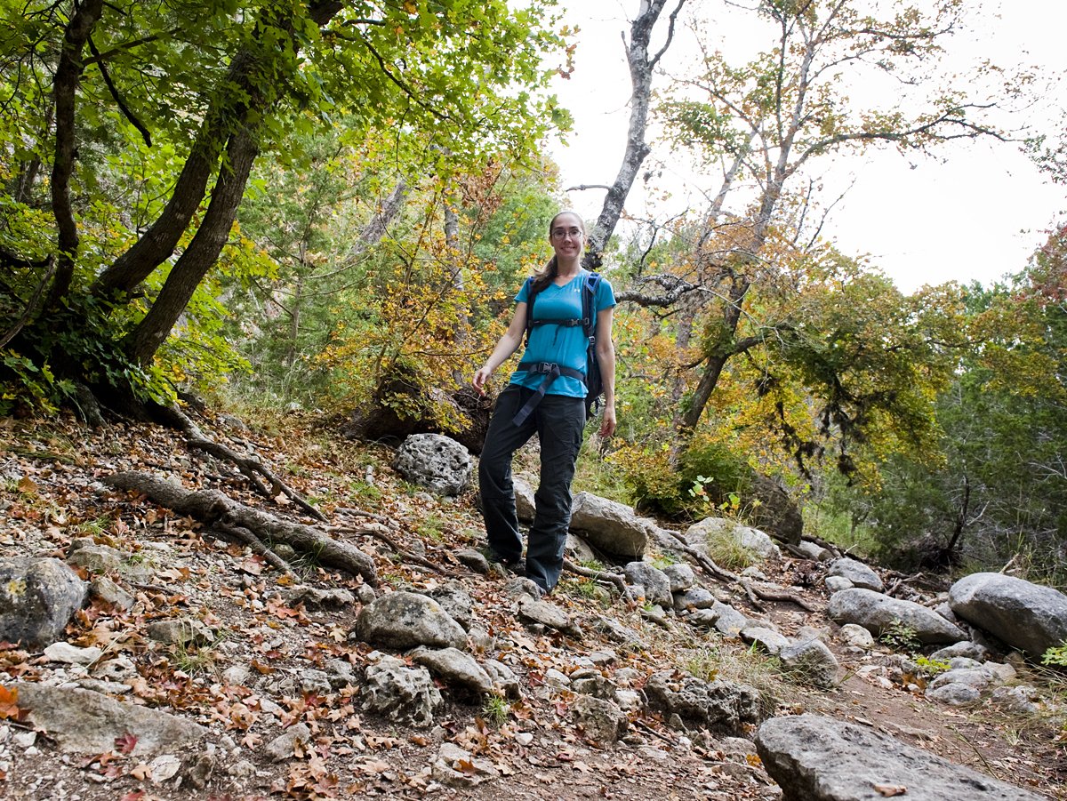
I continued on the trail, snapping pictures, and I even took a self-portrait.
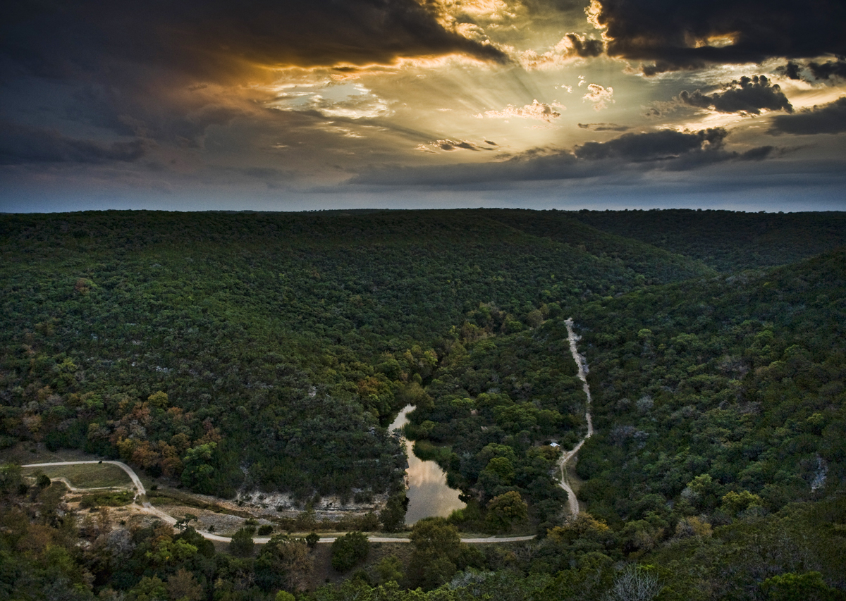
I was a happy hiker and I kept thinking to myself, “I don’t know why this is supposed to be the more difficult of the two trails. This is pretty easy.” Then I came around the corner and saw this:
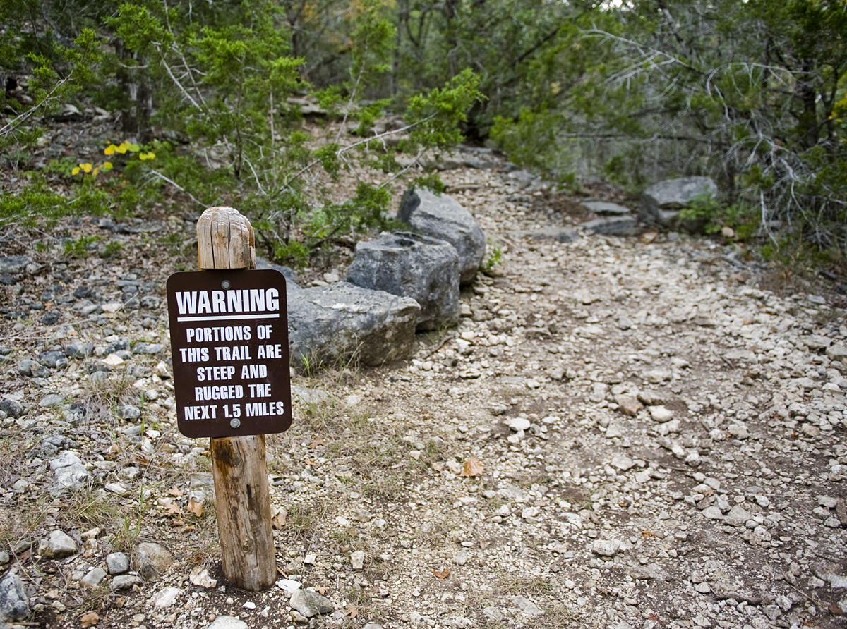
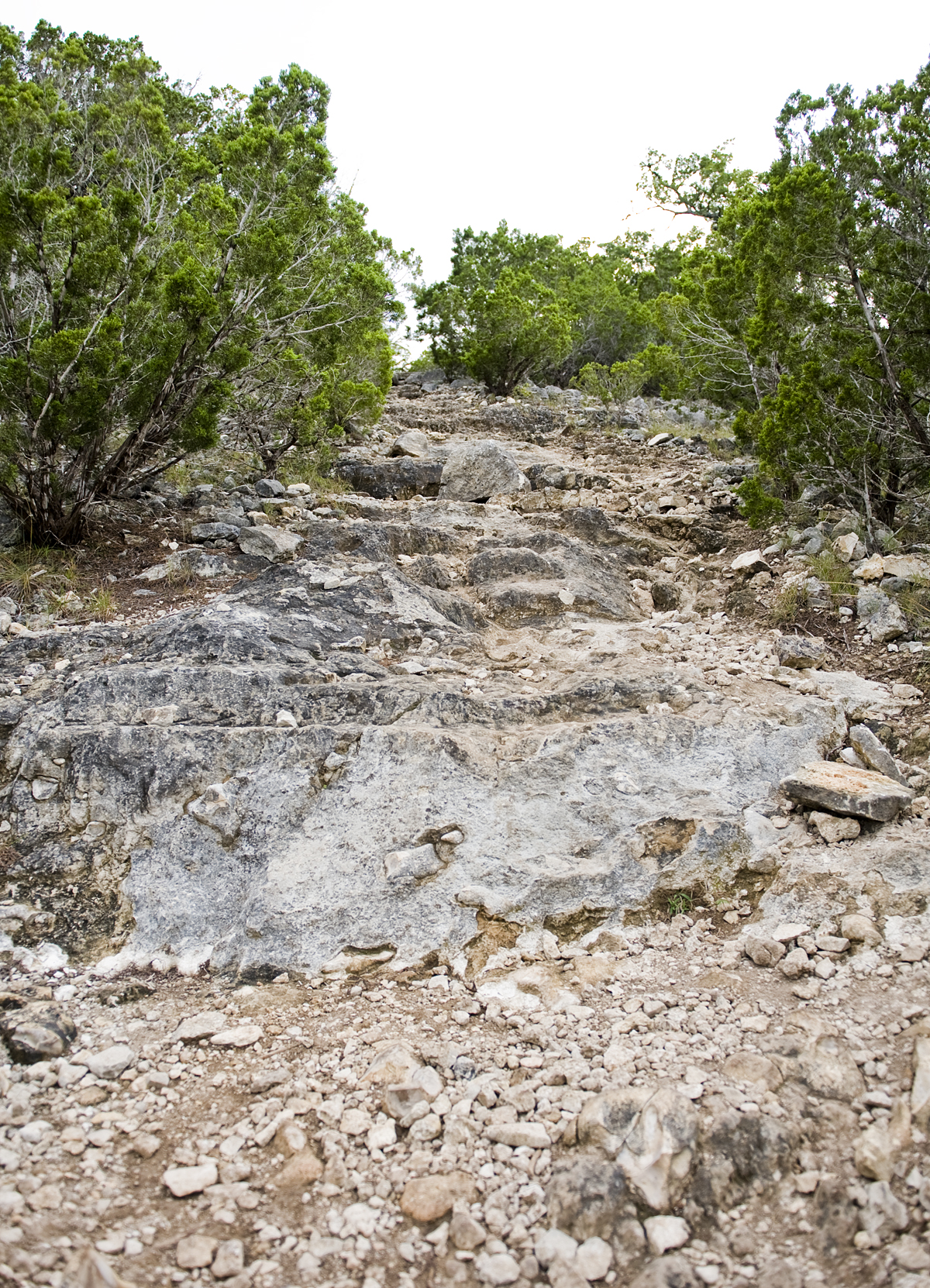
Oh…so that’s the 1200 ft. elevation change they told me to expect. This trail isn’t for first-timers or anyone with bad knees. It’s a mile and a half of climbing over large rocks and maneuvering up steep trails.
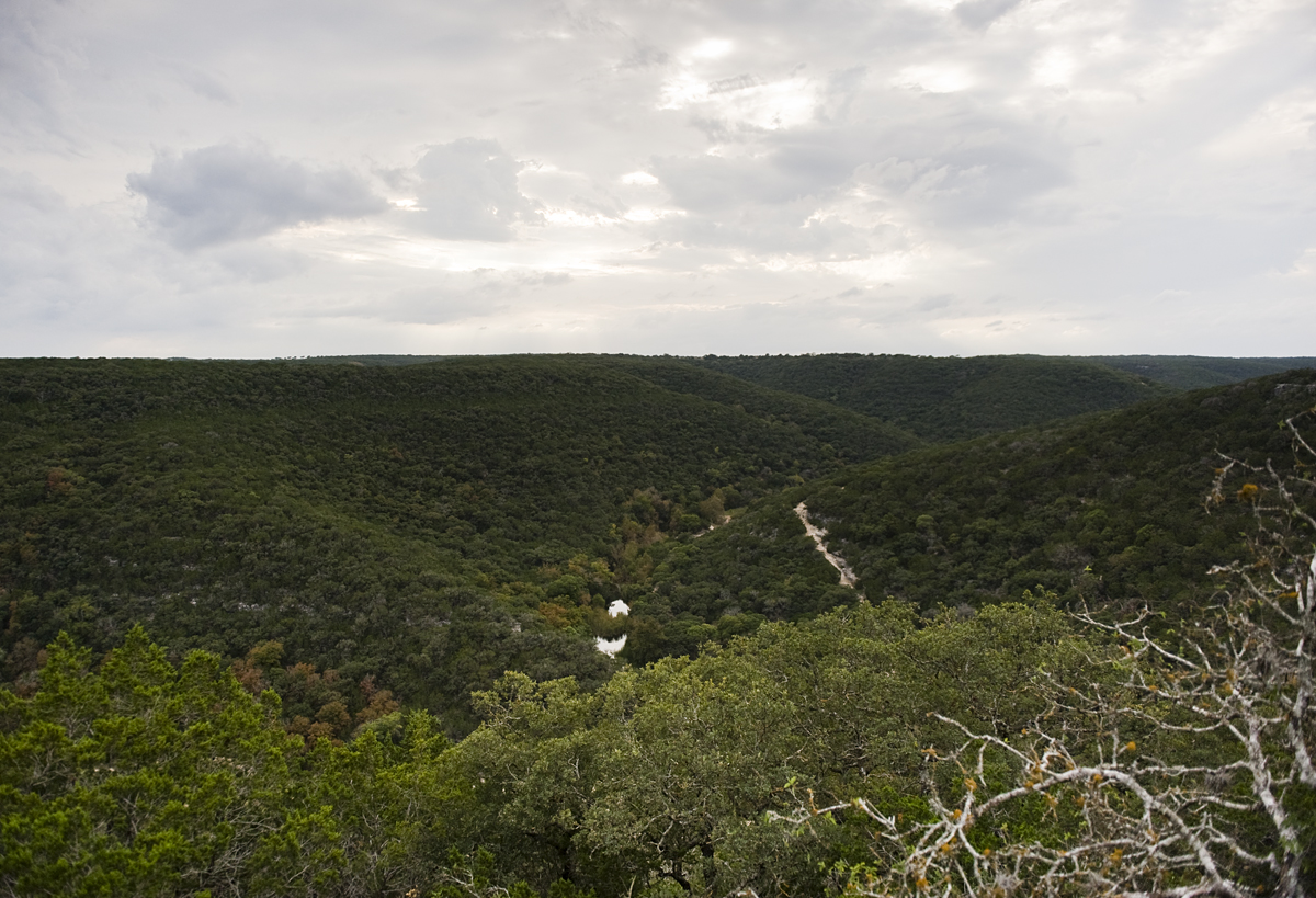
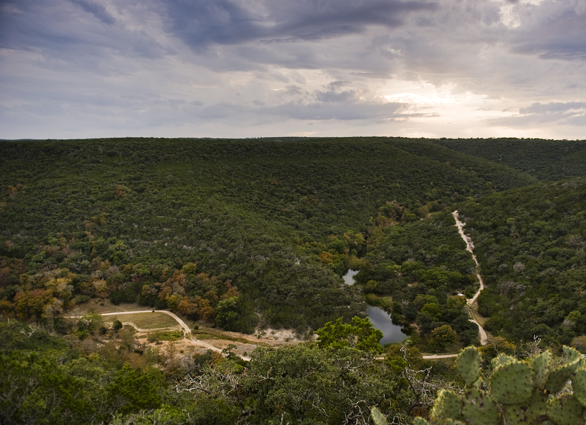
I made it up to the top a little early for sunset, so I found an overlook and sat down to take a drink of water and eat my snack. There’s a place up at the top where you can see the river and part of the trail. It was quiet up there by myself. No one else was on the trail.
It had been cloudy all day, so I wasn’t sure I’d even get to see the sunset. Leave it to mother nature to go from this…
to this…
to this…
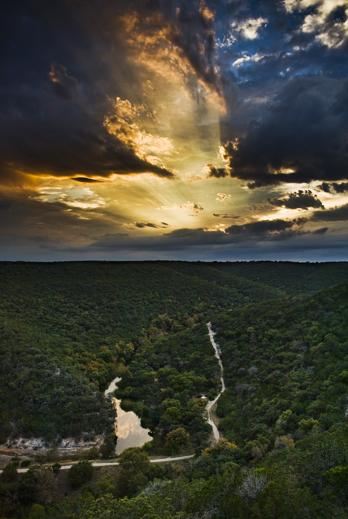
It turned out pretty spectacular, but as the sun lowered in the sky, the clouds returned and I had to hurry down the hill before it got too dark.
The other side of the trail was steep, but I didn’t have to climb any rocks. I recommend taking the East Trail from east to west, that way you get the rock climbing out of the way on the uphill side, and all you have to worry about on the west, downhill side is keeping sure-footed.
As I neared the end of the trail, it was dark enough to use my flashlight. I wish I could’ve seen more of the western part of the East Trail. It looked beautiful from what I could see in the dark.
I also happened upon a small snake catching a frog for dinner near the water. It made me jump back.
When I arrived at the end of the trail I looked in the parking lot and didn’t see my car. Strange. I walked around and realized it wasn’t the same parking lot I started in. The trails start and end in different places. I didn’t realize that before hand and had to find my way to the other lot in the dark.
I finally returned to my car and drove three hours back home. I figured I drove about 6 hours and hiked about 6 miles that day. But I’m still not satisfied. I didn’t get to camp, I didn’t get to explore the West Trail, and I didn’t even get close to my normal 24-hour trip.
That’s where you come in. I need your help to finish my 24-hour trip! Whether it’s Lost Maples or Balmorhea or Caddo Lake or anywhere else in Texas, I need you to tell me about your 24-hour trips!
Send me your best picture and a short summary about your most recent 24-hour adventure, and I will send you a signed 5×7 print of your choosing from the 24inTX blog. Plus, your adventure may be featured in an upcoming 24inTX blog post! (Send your stories/photos to info@24inTX.com. Only one per person, please! This offer is good through Dec. 31, 2013.)
Here are a few links to help you plan your trip:
Lost Maples State Natural Area (TPWD web site)
Fall Foliage Report (to track the color changes)
Park Map (for trails)
One comment on “LOST MAPLES STATE NATURAL AREA”
Ashley thank you so much for the great story about the maple forest I can’t wait to go out and not gonna trip on my own